
Near-critical fire weather conditions today and Tuesday
Jul 20, 2026 06:06AM ● By Content Editor
From the National Weather Service in Duluth - July 20, 2026
Near Critical to Critical Fire Weather Conditions possible today and Tuesday, due mainly to strong winds. Today, west winds will be gusting to 30-35+ mph which could cause any fires to spread, and on Tuesday there will again be strong winds of 25-30 mph out of the north-northwest. Thunderstorms could also start new fires. Drier Wednesday, but less winds the rest of the week.

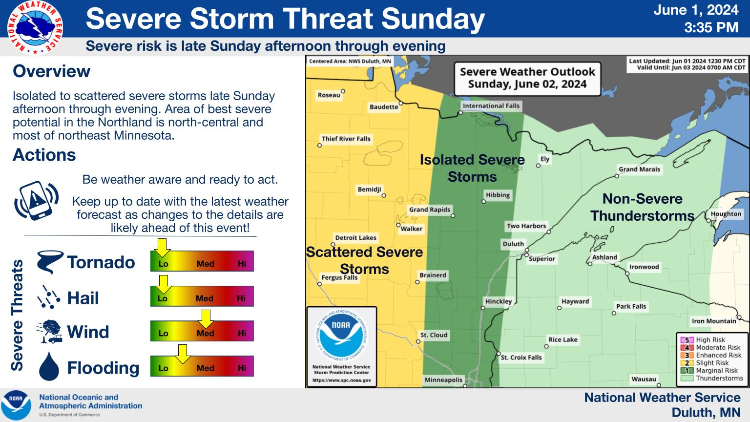
After some morning thunderstorms, there is another threat for some strong to severe storms again this afternoon, especially in northwest Wisconsin. This will be a conditional threat, meaning a low probability that storms will develop, but if they do, a high probability that they could be severe.

![]()
Near Critical to Critical Fire Weather Conditions possible today and Tuesday, due mainly to strong winds. Today, west winds will be gusting to 30-35+ mph which could cause any fires to spread, and on Tuesday there will again be strong winds of 25-30 mph out of the north-northwest. Thunderstorms could also start new fires. Drier Wednesday, but less winds the rest of the week.
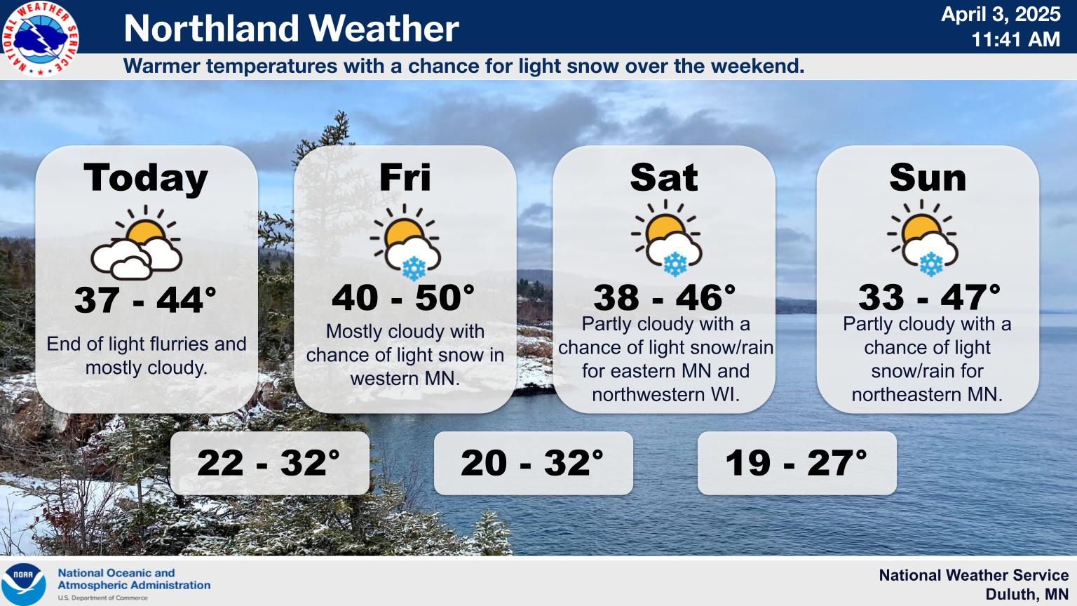
Look for another hot day today, especially in east-central MN into northwest WI where a heat advisory is in effect. Expect highs in the upper 80s to low 90s. There is a moderate risk for heat-related impacts today for those sensitive to heat.
There will be multiple rounds of showers and storms today into Tuesday. Scattered storms this morning will end by around 9 AM. Some damaging wind or hail is possible. This afternoon, another round of storms may develop, especially in northwest Wisconsin, and while confidence is low these storms could produce large hail and damaging winds. Finally on Tuesday, scattered showers and a few storms are possible.

For additional weather details, go to https://www.weather.gov/dlh/weatherstory

