A Legacy Of Mine Waste: Groups Fight To Save Lake Superior Reef, Shoreline
Jun 05, 2020 06:07AM ● By Editor
By Ben Meyer of WXPR Public Radio - June 4, 2020
Standing at Grand Traverse Harbor on the Keweenaw Peninsula, a look right reveals picturesque yellow-sand beaches and unassuming seasonal homes.
A look left includes nothing but a black shoreline on this part of the peninsula, which juts into Lake Superior in Upper Michigan.
Jay Parent scooped up a handful of the pebbly black sand, which stretches out of sight on the shoreline.
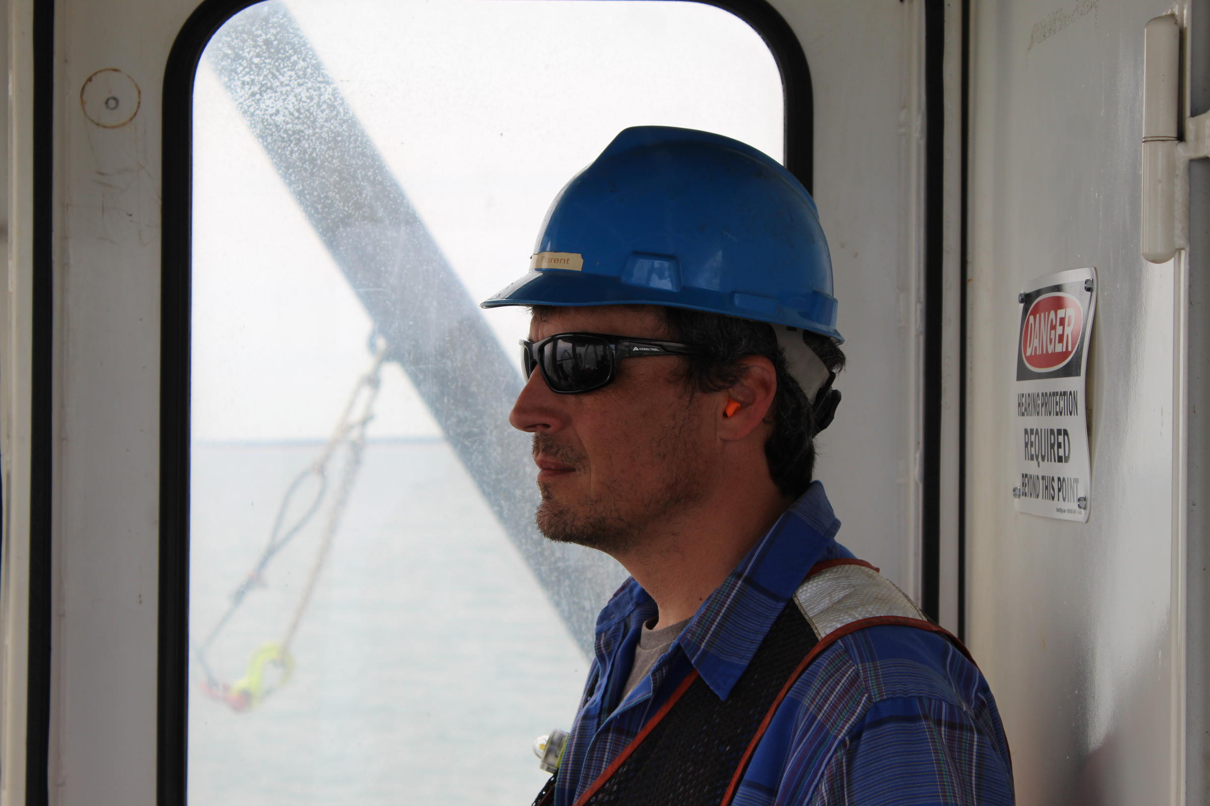
“It was this high stamp sand right here all the way across the harbor,” Parent says, gesturing more than head-high.
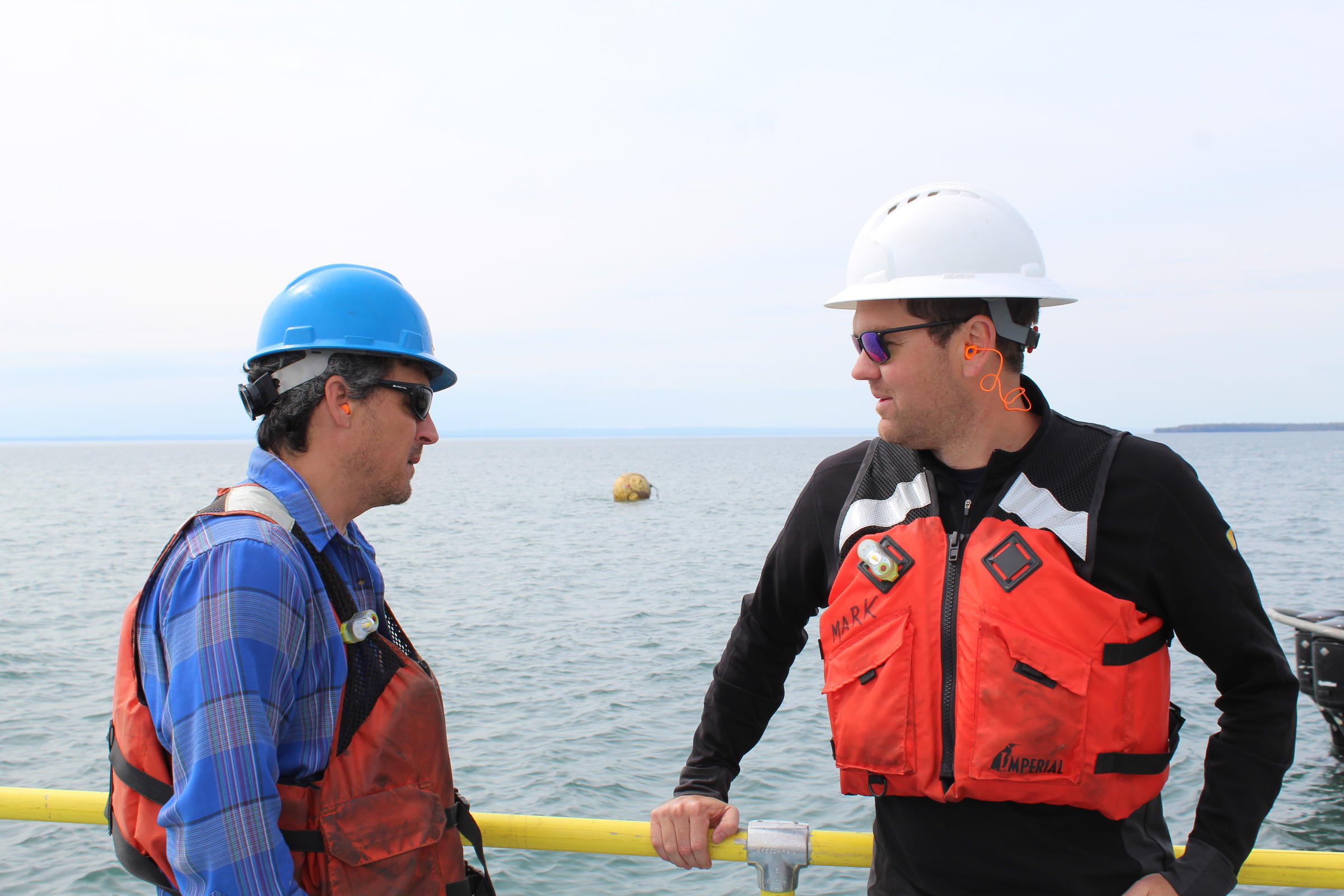
Parent is a supervisor for the Michigan Department of Environment, Great Lakes, and Energy (EGLE).
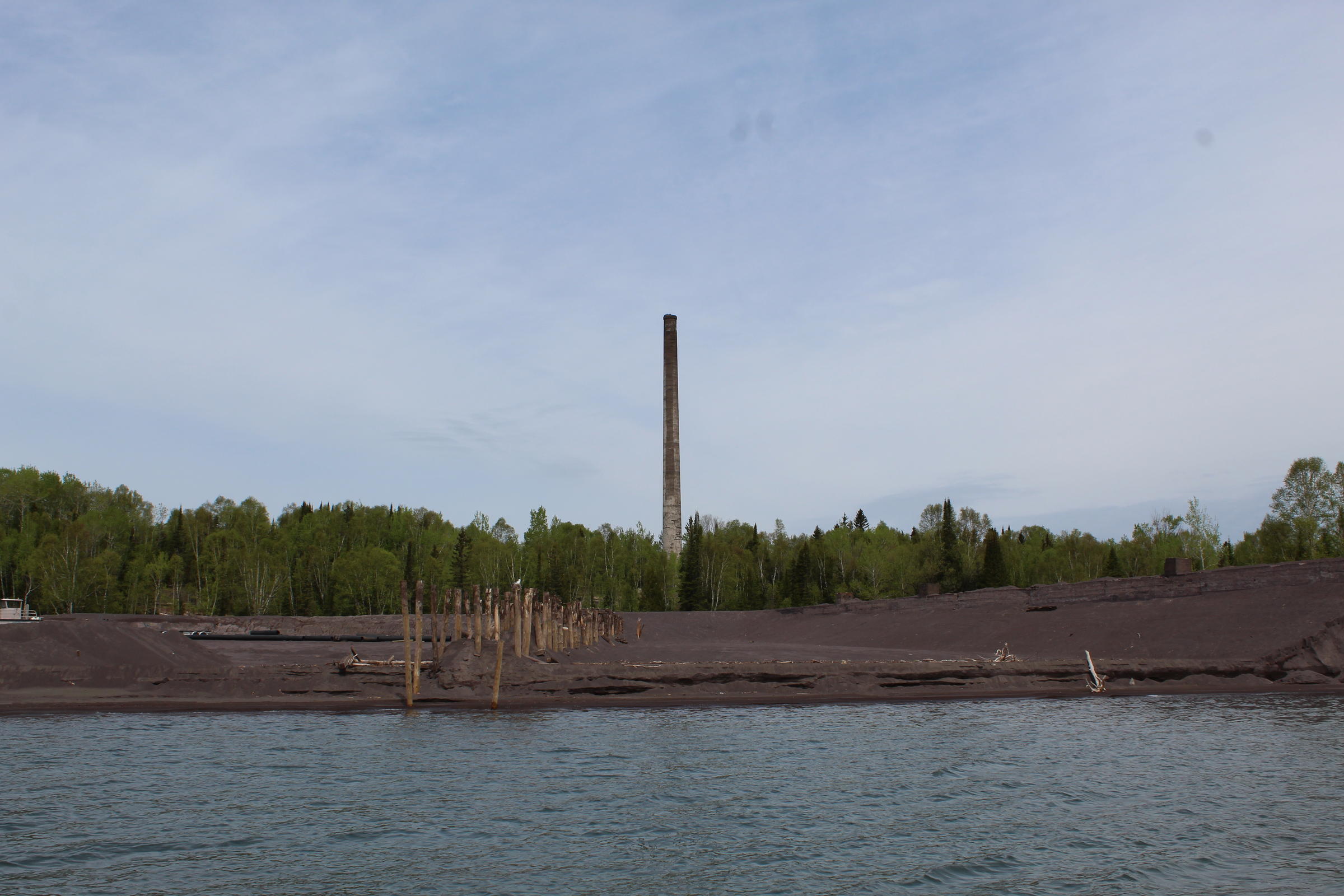
He’s standing on an unending beach of “stamp sands,” the waste rock leftover from the historic “stamping” process to extract copper from ore.
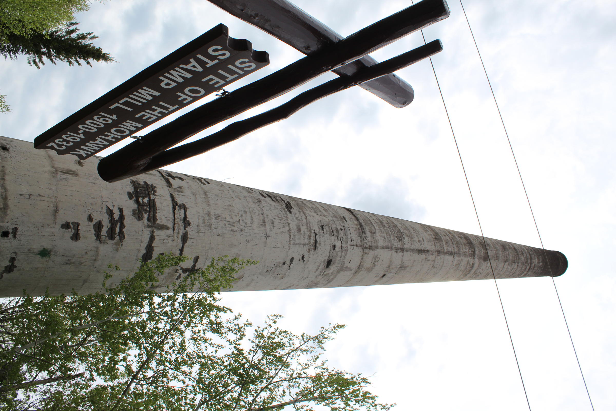
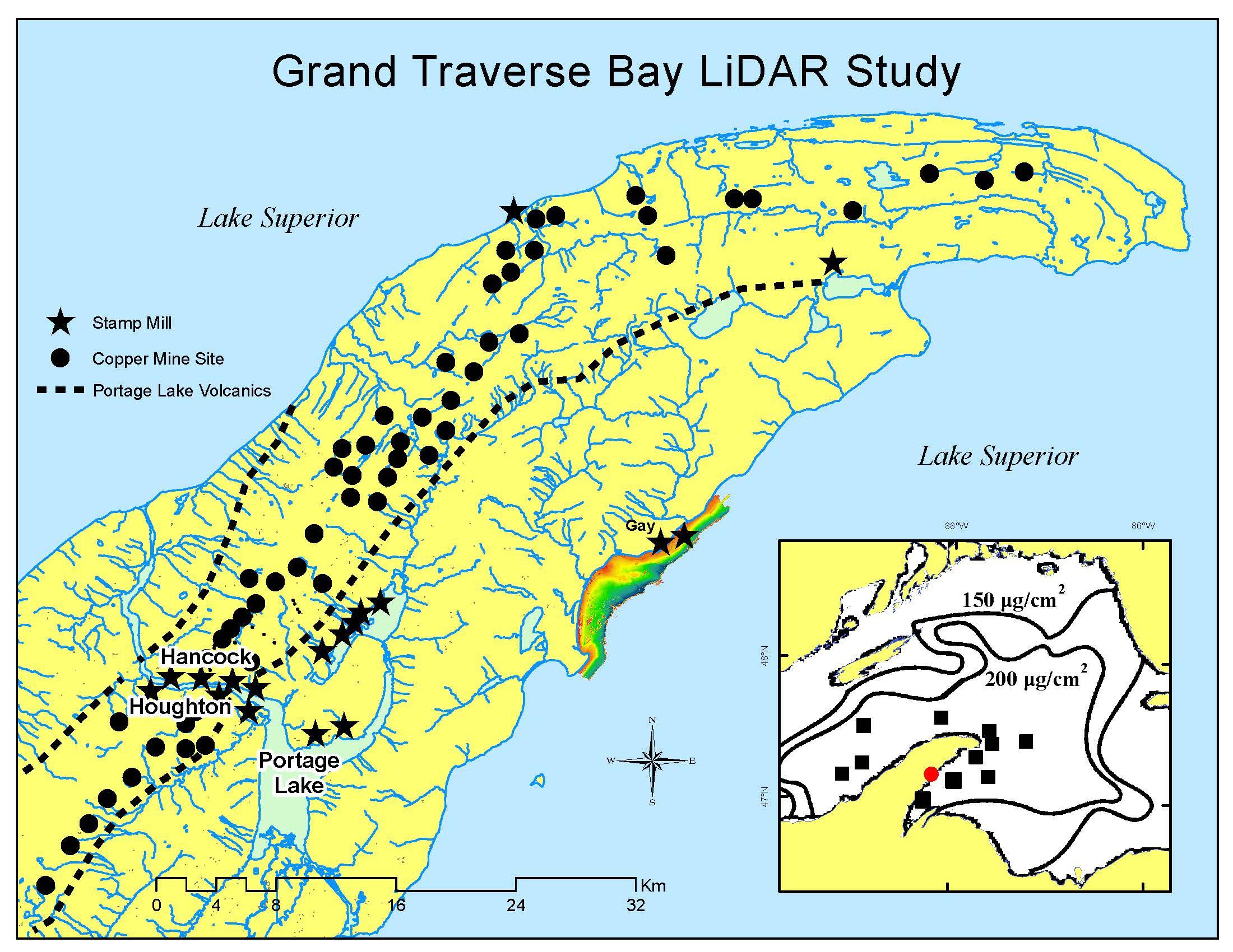
For decades in the 19th and 20th centuries, the Keweenaw Peninsula was home to more than 100 copper mines, and some of their copper ore went to two stamp mills, the Mohawk and Wolverine mills, in the community of Gay.
Operating until 1932, the mills generated 25 million tons of stamp sand and dumped it near Lake Superior. The pile was about five miles up the shoreline from where Parent stood.
It was legal and a common practice back then. But since that time, erosion and lake currents have helped the stamp sand slowly drift south, covering everything in its path.
“You can get an idea of how big of a problem this really is,” said Mark Peterson, looking at an expansive black beach. “It’s like this for miles.”
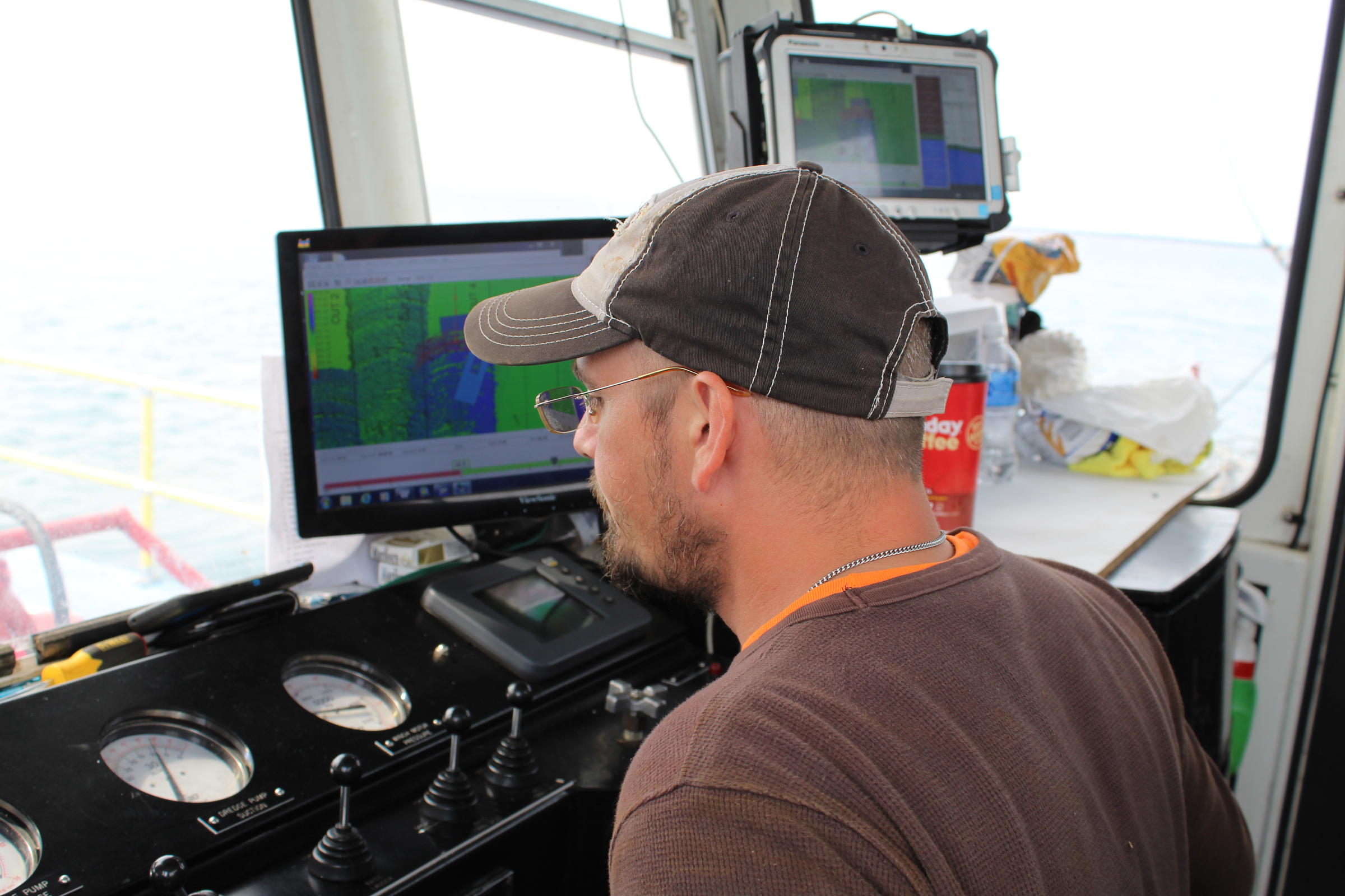
Peterson was navigating a boat onto Lake Superior to help demonstrate the magnitude of the issue.
The problem extends far beyond the beach.
The boat headed in the direction of Buffalo Reef, an underwater haven for lake trout and whitefish spawning.
At least, it used to be a haven, said Parent.
“A reef has natural cobble and crevices where organisms can live and shelter,” he said. “The stamp stands smother the reef. It just turns into a layer of stamp stands, instead of that natural cobble.”
Plus, the copper content in the sands can reach toxic levels for aquatic life.
“It’s just like an aquatic desert,” Parent said of some areas.
The Michigan DNR estimated that, in five years, stamp stands could cause 60 percent of Buffalo Reef to no longer be viable for lake trout and whitefish.
Above: underwater cameras show stamp stands covering the natural cobble at Buffalo Reef. Courtesy Michigan Tech University.
But a noisy boat might at least slow that timeline.
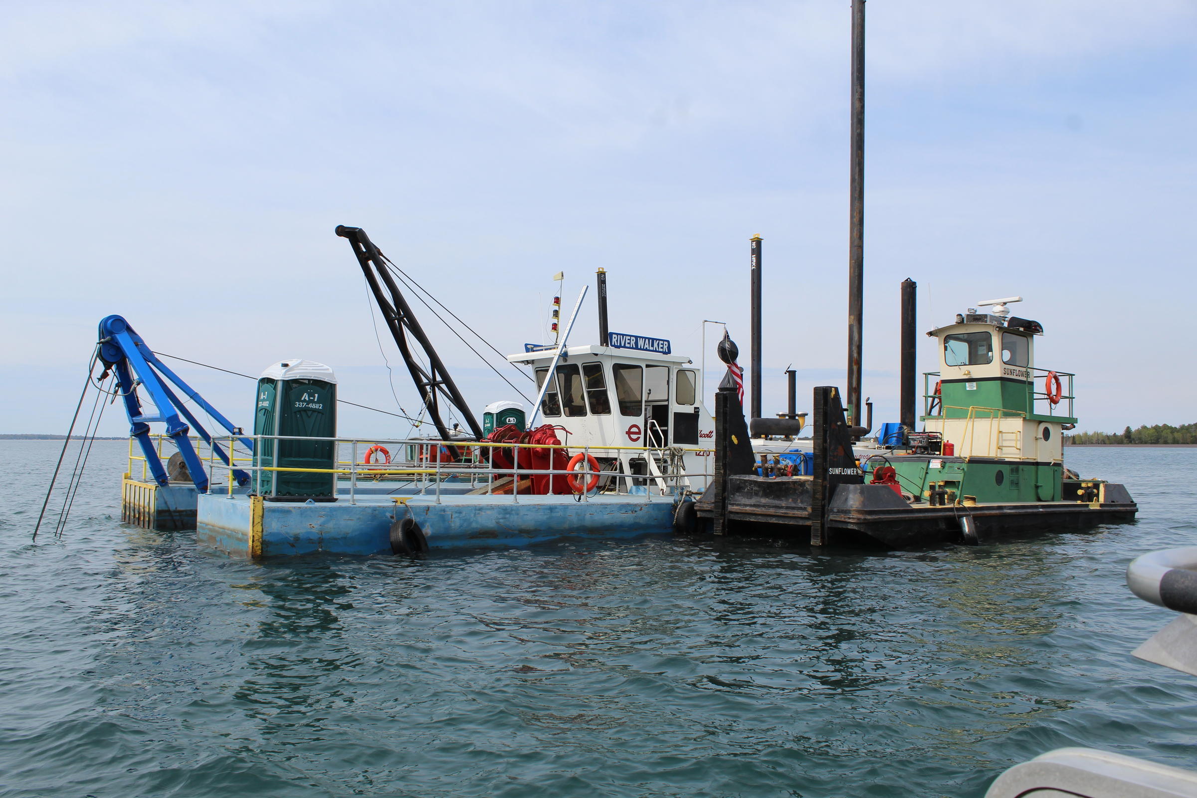
Mark Peterson steered to the dredging vessel he owns, floating offshore. It amounts to the largest, loudest vacuum imaginable.
“It’s just a really expensive vacuum that likes diesel fuel,” Peterson said with a smile.
A long, red arm, called the ladder, reaches to the bottom.
At this location, the lakebed is 16 feet deep and covered with stamp sands.
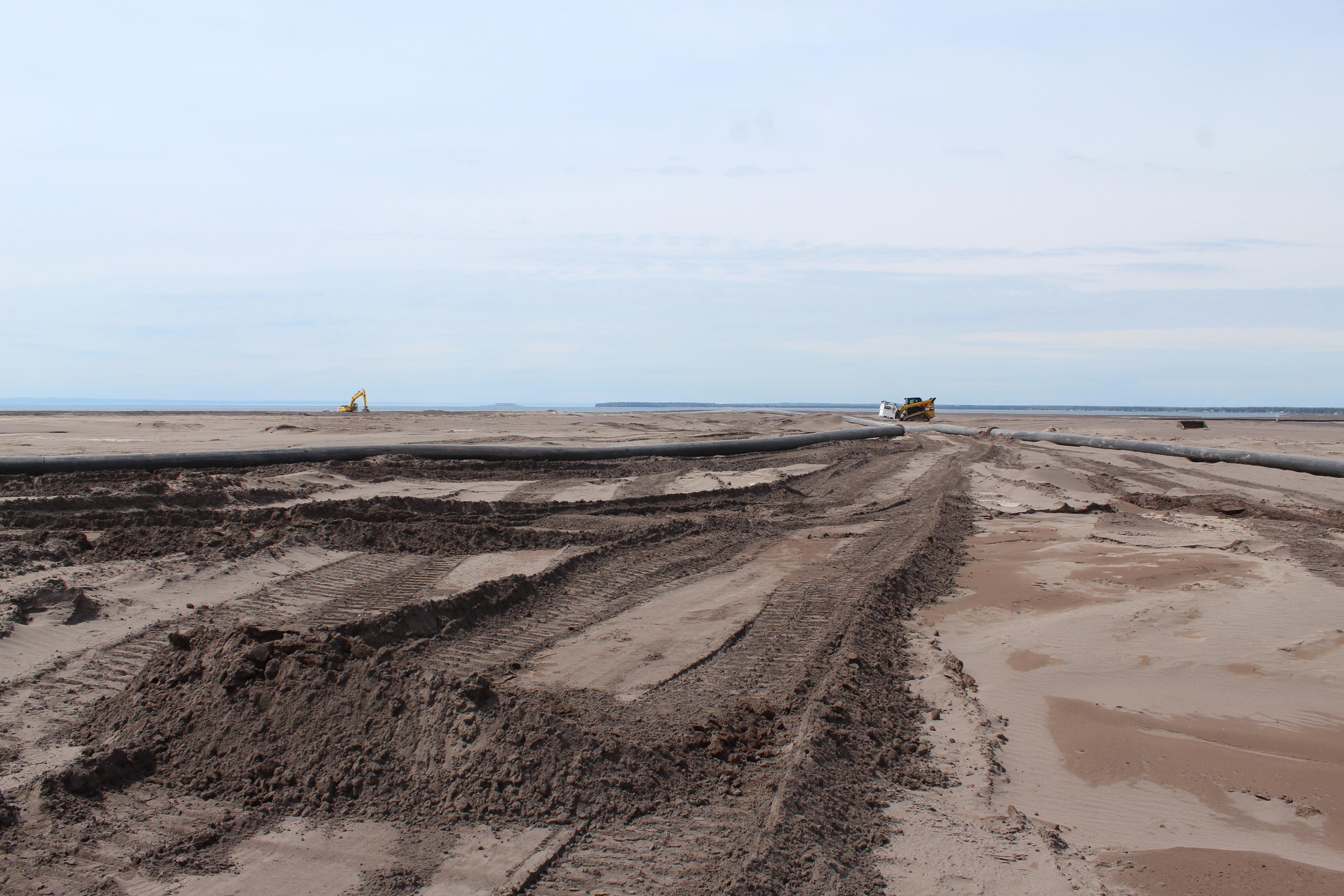
“That rotates, loosens the material up, and then the pump inside the dredge will suck that loosened material into the dredge pipe and then discharge it onto shore,” Peterson explained.
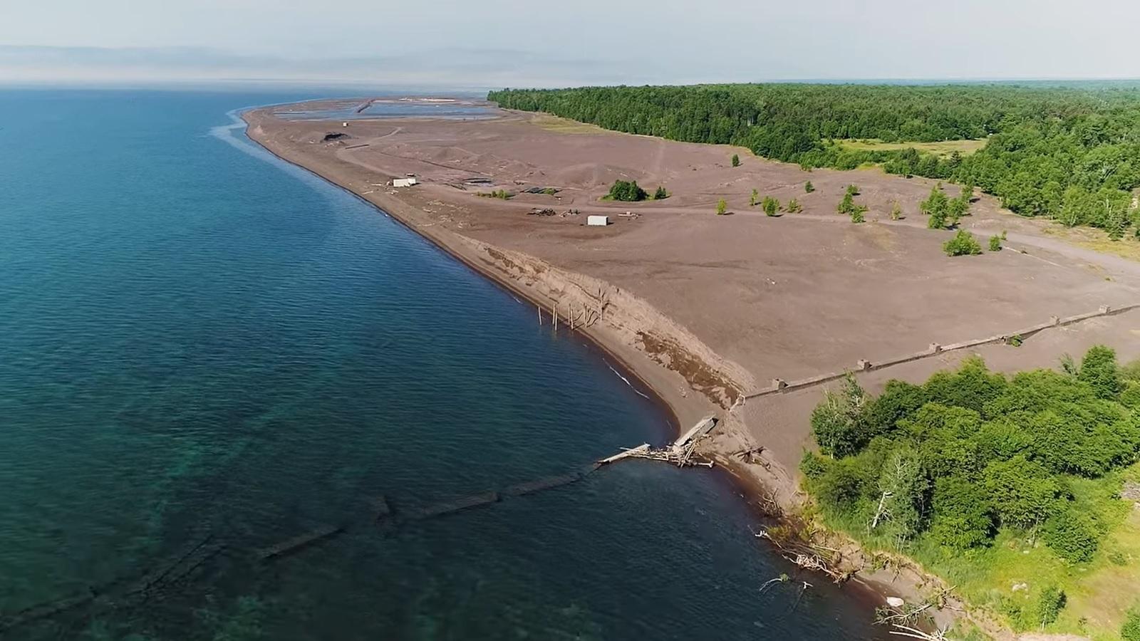
The pipe discharges a mile away, removing 4,000 cubic yards of stamp sands from the lakebed per day.
With any luck, it will make a little progress in improving Buffalo Reef’s fish habitat.
Above: Dredging can remove 4,000 cubic yards of stamp sands per day from Lake Superior's bed. The material is deposited on shore. Ben Meyer/WXPR
That’s of immense importance to Lake Superior’s Ojibwe tribes.
The Great Lakes Indian Fish and Wildlife Commission (GLIFWC) just released a video called Saving Buffalo Reef.
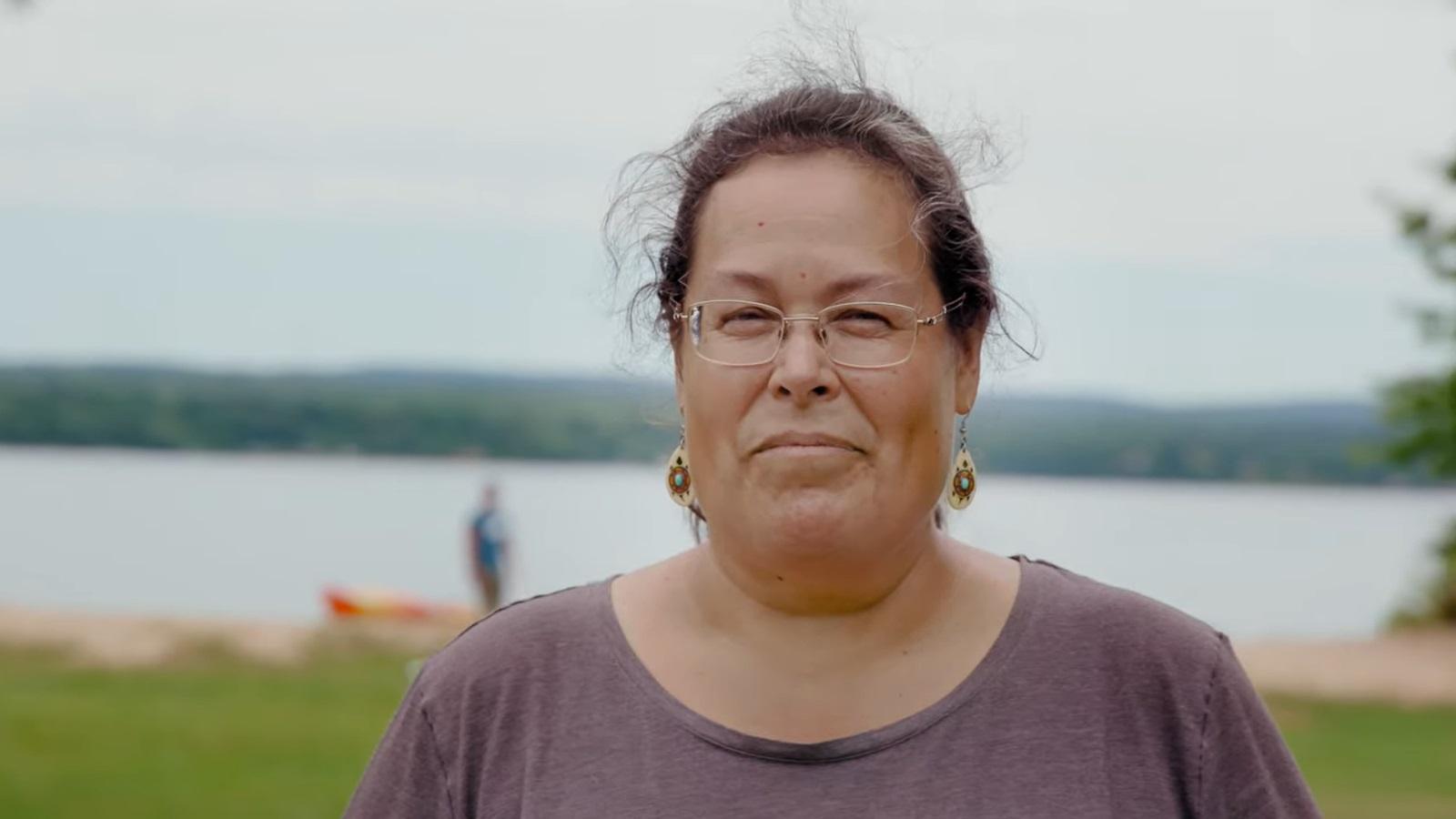
“Fishing has always been a big part of who we are as people,” Evelyn Ravindran, the Natural Resources Director for the Keweenaw Bay Indian Community, said in the video.
Her tribe has historically relied on fishing Lake Superior and now-tainted Buffalo Reef.
“It’s a sadness at what happened and it’s a responsibility that we need to do something about it as a whole community, as all people,” she said.
Ravindran, along with Parent and other local and federal partners, are part of a task force examining a long-term plan for the stamp sands on the lakebed and shoreline.
Three final options include building and putting the sands a landfill nearby, taking the sands to the defunct White Pine Mine in Ontonagon County, or constructing a massive retaining wall to try to contain the sands on the land.
Each would likely cost hundreds of millions of dollars, Parent said.
“Everything you see, all of this black beach, is all mining waste,” he said, looking out the boat’s window.
Parent sometimes thinks the issue is a victim of geography.
“If this stuff was down next to Chicago or Detroit or Cleveland or a more populated area, it would get a lot more attention than it does. It’s such a remote location. It’s kind of out of sight, out of mind,” he said.
Parent knows he and his partners are making progress. He tries to stay optimistic.
Even so, he said, the current efforts are just a drop in the bucket on the road to saving Buffalo Reef and the Lake Superior shoreline.
“It feels like you’re standing here with 30 million metric tons of stamp sands coming at you, trying to stop it,” Parent said. “That’s what it feels like.”
To read the original article and see related reporting follow this link to the WXPR Public Radio News website. https://www.wxpr.org/post/legacy-mine-waste-groups-fight-save-lake-superior-reef-shoreline#stream/0
